Precision from above.

Established in Legacy Since ‘76
Our tradition of excellence and our unparalleled quality has made us a clear leader in the mapping industry for over 50 years with our client base built on over 95% of repeat business. Our primary focus has always been producing a superior product to ensure client satisfaction. Our success is built on uncompromised accuracy, competitive pricing, and meeting difficult deadlines. Please call us for assistance in providing any and all of your mapping and spatial data needs.
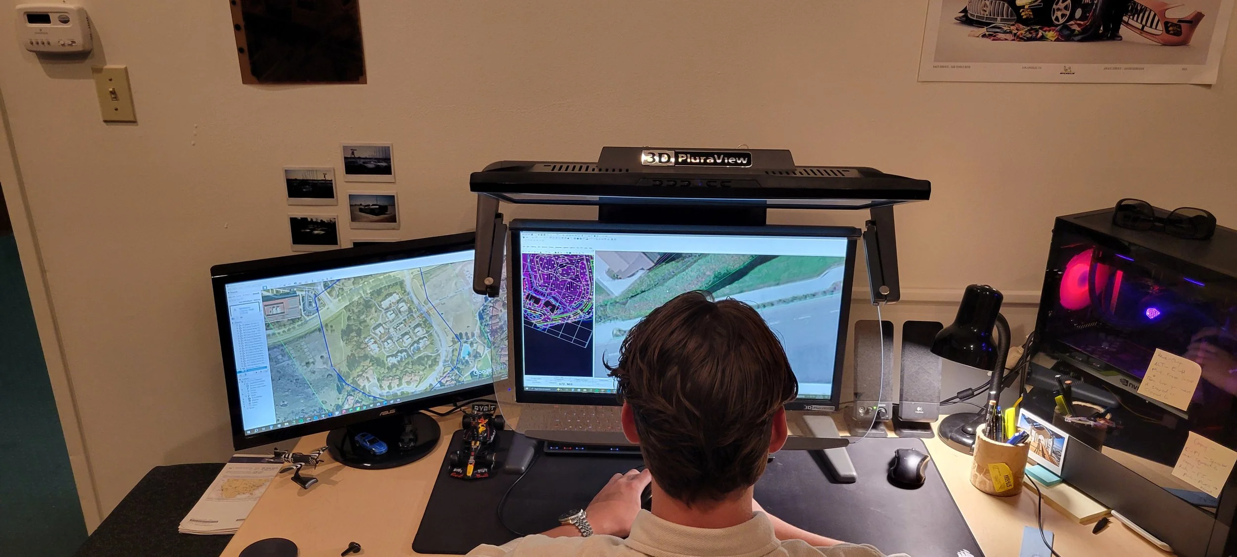
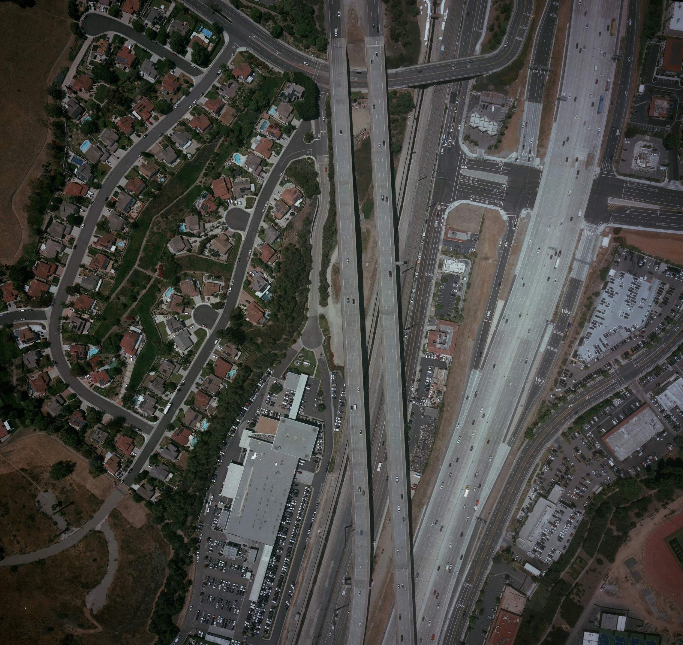
With our own aircraft and cameras we have full control over any given project from beginning to end which allows us to provide our rigorous quality controls to every phase, to ensure that every mapping project we undertake will meet and exceed your accuracy needs. We have completed countless aerial surveys nationwide working predominantly in the West Coast and over to Hawaii as well as worldwide including Canada, Mexico and Guam in the Mariana Islands.

Explore what five decades of precision looks like in practice.
Need a proposal or quote? Let us know! →

Follow Our Journey