All your mapping needs, professionally delivered
Every project is approached with a precise, survey-grade focus; each deliverable is carefully developed to align with your specific mapping requirements, accuracy standards, and operational objectives.
Our experienced geospatial professionals combine technical expertise with proven workflows, ensuring that every dataset—from aerial imagery to LiDAR and GIS products—meets rigorous quality standards and delivers reliable results.
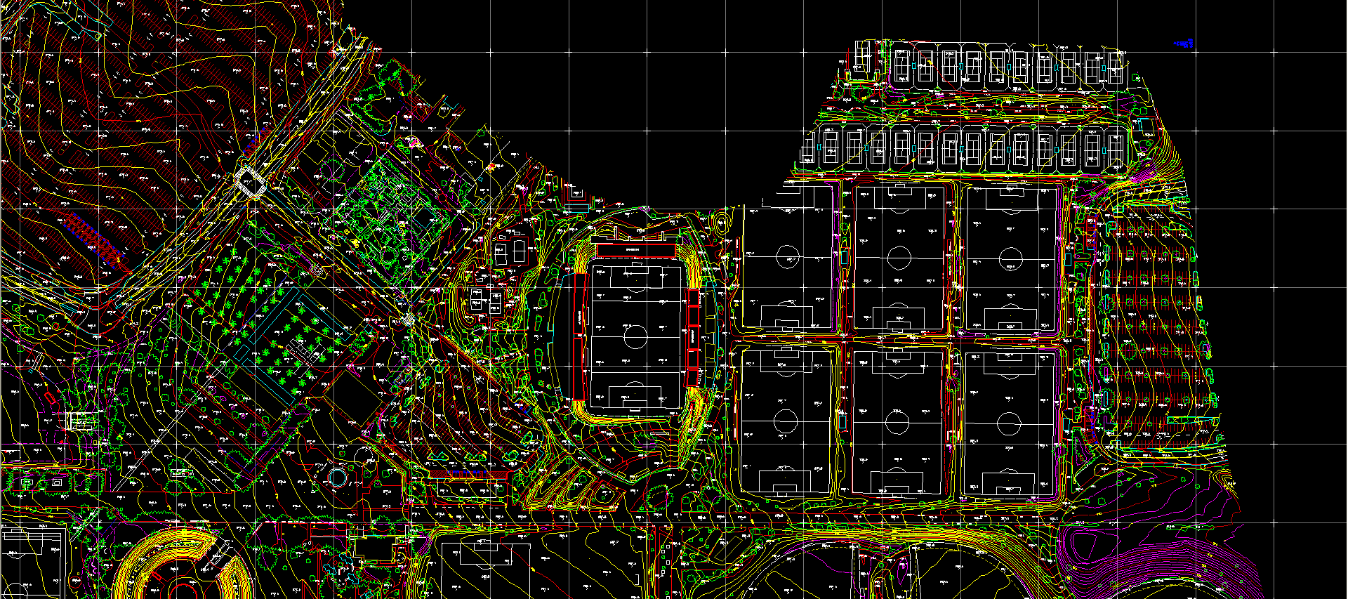
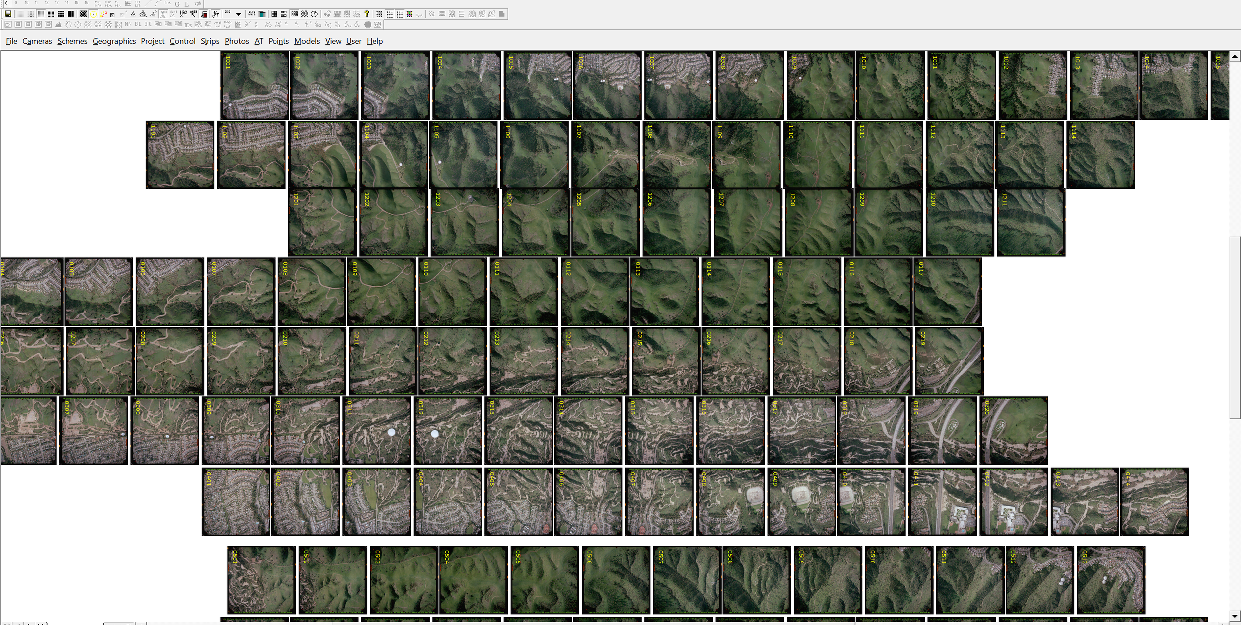
Planimetric and Topographic Mapping
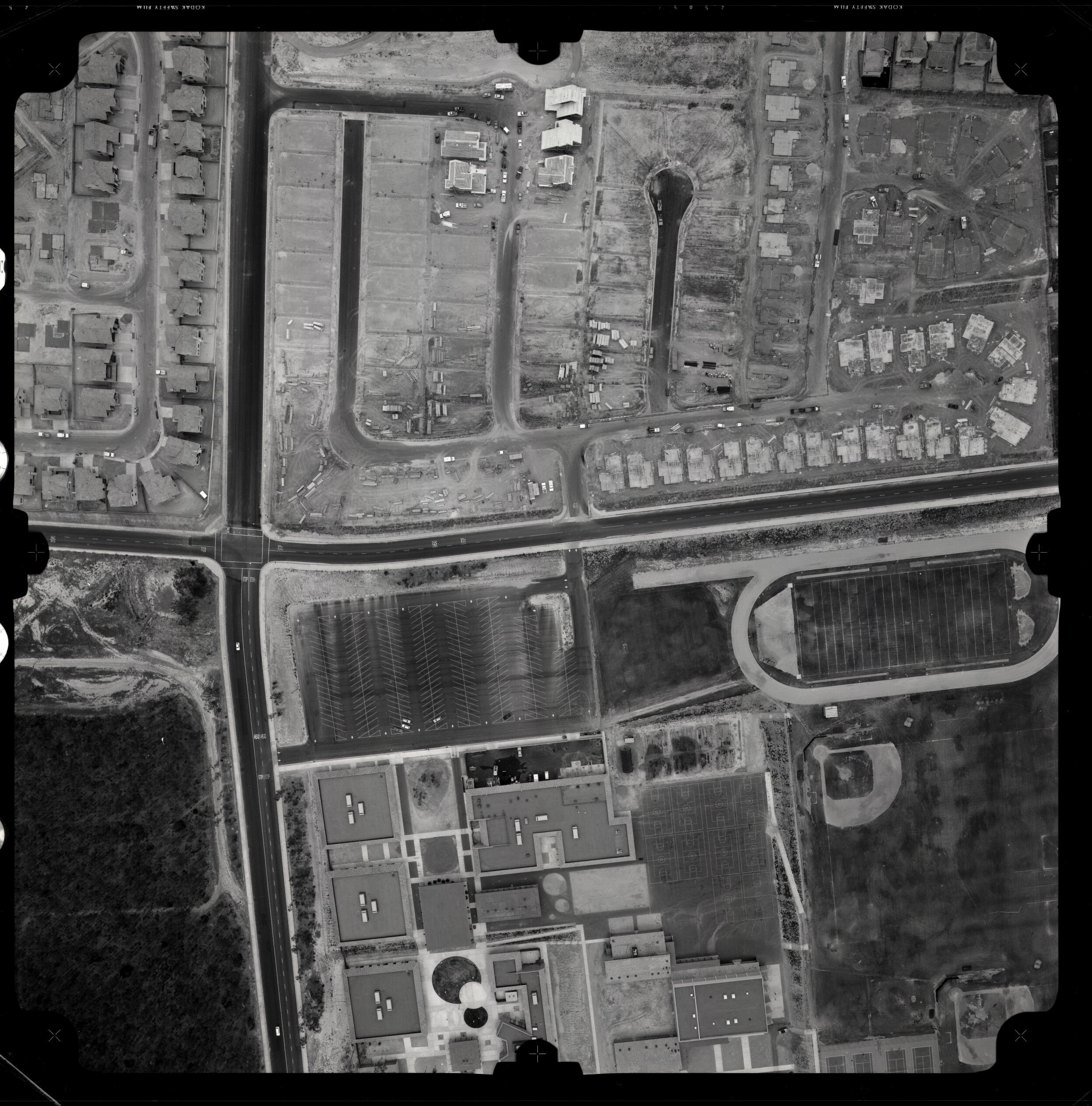
Aerial photogrammetry captures overlapping high-resolution imagery from aircraft or drones, which is processed in-house to produce georeferenced point clouds, terrain models, orthomosaics, and 3D meshes with precise metric accuracy.
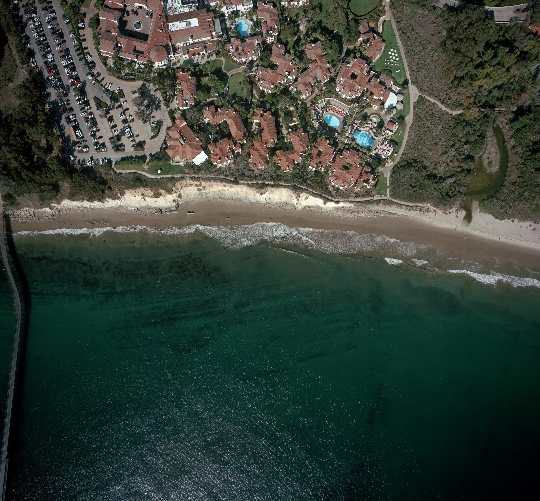
Aerial Imagery
Aerial photogrammetry captures overlapping high-resolution imagery from aircraft or drones, which is processed in-house to produce georeferenced point clouds, terrain models, orthomosaics, and 3D meshes with precise metric accuracy.
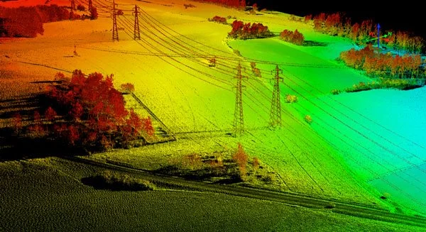
LiDAR Data
Aerial LiDAR uses laser sensors mounted on fixed-wing or UAS aircraft to capture precise 3D point clouds of terrain, vegetation, and structures across large areas. It delivers high-density elevation data and digital terrain models ideal for topographic mapping, floodplain analysis, corridor surveys, and forestry assessments.
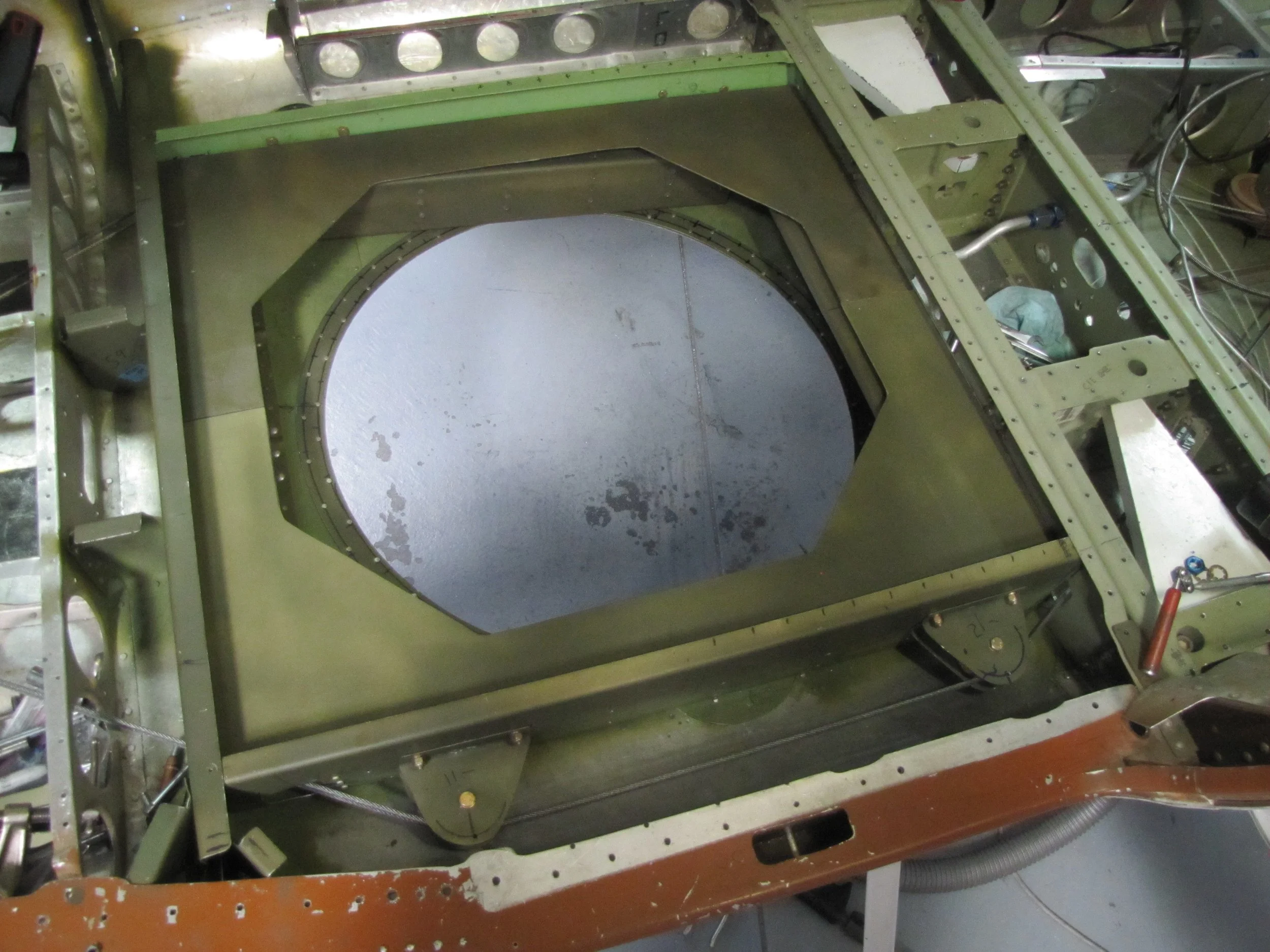
System Platforming
We provide our aircraft for the prototyping of your sensor integration and airborne data collection. We will assist you in handling everything you want delivered from your new setup.
Legacy Photo Archive
We have an archive of imagery dating back to 1975, most of which was taken in the SoCal area. These can be found, pulled, scanned, and sent to you digitally or in the form of a print.